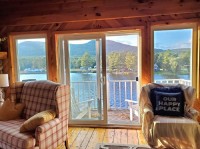
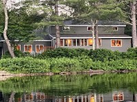
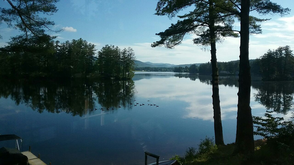
Wells is both a town and a hamlet. Wells hamlet is a beautiful hamlet stretching for about three miles along Lake Algonquin and Route 30. Lake Algonquin is a town owned lake that was created by damming the Sacandaga River with a small hydro-electric dam at the southern end. Wells is a much larger & has more people than Hope and Benson. The town operates a free beach on Lake Algonquin, by the Route 30 bridge, during the summer season. Also the town maintains a fishing pier by the dam and boat launch on the west side of the lake. West of the hamlet, along a dead end town road about 5 miles, West River Road, is Whitehouse. Whitehouse is where a famous old hunting camp used to be. All that is left is a lone chimney, the "famous" Whitehouse chimney. Now the state owns the land and it's open to the public. The Northville-Lake Placid Trail can be accessed here. Warning, watch out for black bears, don't leave food around or act like they are tame animals!
The area was first settled around 1798. According to the United States Census Bureau, the town has a total area of 178.4 square miles, of which, 177.2 square miles of it is land and 1.2 square miles is water. Besides Lake Algonquin in Wells, there are also Willis Lake and Charlie Lake We have properties available on Willis Lake and Charlie Lake. Charlie Lake is located off of remote quiet Gilmantown Road and is a motorboat free lake noted for its quiet and cleanliness.

 Well's Eagle